 |
| Maps |
| Project reports |
| Publications |
| Photo gallery |
Maps of the Jabal al Akhdar region
 |
 |
|
Overview |
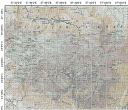
Topographic map |
|
 |
||
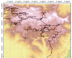
Digital elevation model and study sites |
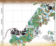
Study sites and common pastures |
|
 |
 |
|
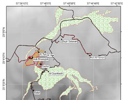
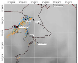
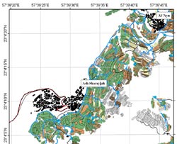
Land use maps (Masayrat ar Ruwajah, Qasha’, Ash Sharayjah, Al‘Ayn) |
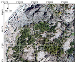
aerial photographs (Masayrat ar Ruwajah, Qasha’, Ash Sharayjah, Al‘Ayn) |
|